Home › Land surveying › Hancock County
Land surveying in Hancock County, Kentucky
Farm and lot boundary surveys, land division plats and elevation certificates in Hawesville, Lewisport, Pellville and Skillman, performed by Bailey Surveys, Inc. of Henderson, KY, in cooperation with Tradewater Appraisal & Realty. [confirm Bailey Surveys covers Hancock County]
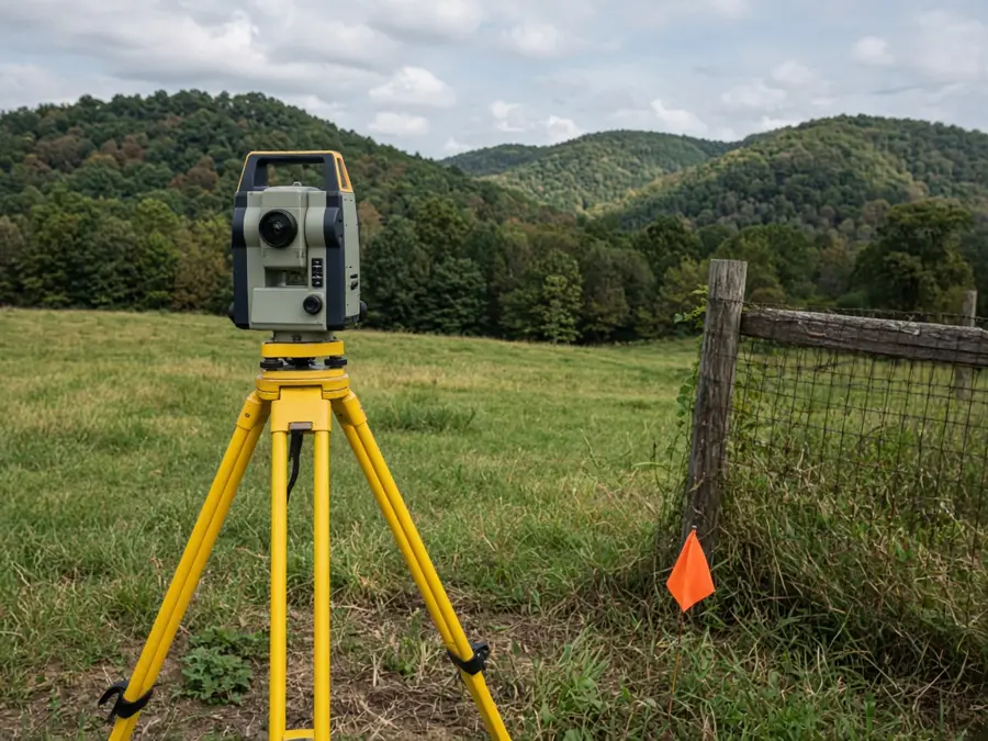
When you need a survey in Hancock County
- Buying or selling land, especially rural acreage, where the deed acreage is uncertain
- Dividing a farm or tract for family members or sale
- Building a fence, barn or home near a property line
- Resolving a line question with a neighbor
- Lender or title-insurance requirements
See also when do I need a boundary survey in Kentucky.
Deed and boundary notes
Kentucky uses metes-and-bounds legal descriptions. In Hancock County, as across western Kentucky, older deeds often call to trees, stones, fences, creeks and adjoining owners rather than set monuments, and distances may be given in poles or chains. Calls may not close mathematically, and acreage stated in a deed is often approximate. A licensed surveyor researches the deed chain and adjoining deeds at the Hancock County Clerk's office in Hawesville, searches for physical evidence, and retraces the original lines.
Read more: why old Kentucky deeds are hard to survey.
Flood zones
Land along the Ohio River may fall within FEMA Special Flood Hazard Areas. Check any parcel on the FEMA Flood Map Service Center (msc.fema.gov) before buying or building. An elevation certificate may be needed for flood insurance, and Bailey Surveys prepares them. See how to tell if a property is in a flood zone.
Survey services
- Farm and acreage boundary surveys
- Residential lot surveys
- Land division and minor plats
- Corner location and re-staking
- FEMA elevation certificates
Dividing land usually requires a plat and may be subject to local planning rules [confirm Hancock County planning requirements].
What a boundary survey in Hancock County includes
A typical boundary survey starts with research: the current deed, the deeds it came from, adjoining owners' deeds, recorded plats and any prior surveys on file in Hawesville. The surveyor then searches the ground for existing monuments such as iron pins, stones, fence corners and marked trees, measures between them, and compares what is found with what the deeds describe. Where the record and the ground disagree, the surveyor weighs the evidence under Kentucky practice and professional standards [confirm Bailey Surveys follows 201 KAR 18:150 minimum standards]. Corners are set or confirmed, and you receive a signed and sealed plat showing the lines, bearings, distances, acreage, monuments, and visible encroachments or improvements near the lines.
PVA maps and GIS lines are not surveys
The Hancock County PVA map is a tax map. Its parcel lines are drawn for assessment and can be off by many feet, especially in rural areas, and its acreage is often carried forward from old deeds. Online GIS and phone apps use the same lines. They are useful for finding a parcel, but they should never be used to place a fence, building or driveway. Only a licensed land surveyor can establish a boundary.
What to have ready
- Your deed, or the deed book and page reference
- Any prior survey, plat or recorded easement
- Notes on known corners, fences, gates or disputes
- The reason for the survey and any closing or construction deadline
- Access instructions, gates, livestock and contact for the property
Clear brush lines are not required, but safe access to corners speeds the field work and can lower cost.
Survey plus appraisal
When land is being sold, divided or settled in an estate, the survey establishes what is there and the appraisal establishes what it is worth. Coordinating both through one office avoids re-work when acreage changes. See appraisals in Hancock County.
How to order a survey
- Call 270-667-4216 or email admin@tradewaterrealty.com.
- Provide the property address or PVA map/parcel number, the most recent deed reference, and why you need the survey.
- Bailey Surveys reviews the records and provides a quote and schedule [confirm process].